
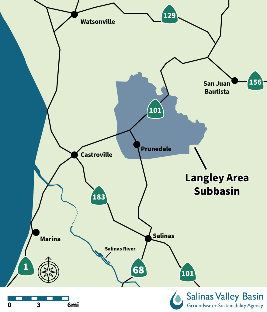
The Langley Area Subbasin includes the community of Prunedale and covers 27.5 square miles. The primary water use in this subbasin is rural residential, with some agricultural use along the southern boundary of the subbasin.
The Langley Area Subbasin Committee meets quarterly on the first Wednesday of the month at 9 a.m. (March, June, September, December). Get meeting information.
Groundwater Sustainability Plan (GSP):
Groundwater Sustainability Plans provide a long-term framework for managing groundwater in accordance with California’s Sustainable Groundwater Management Act (SGMA). The Langley Subbasin GSP describes groundwater conditions, establishes measurable sustainability goals, and identifies the projects and management actions needed to achieve and maintain groundwater sustainability.
As needed, a GSA may amend a GSP. A GSP Amendment formally revises an adopted GSP when changes are needed to its management approach, sustainability criteria, projects, management actions, or other core elements. Amendments require specific public notice and adoption procedures and must be submitted to DWR with a Periodic Evaluation explaining and supporting the changes.
Draft Langley Subbasin GSP Amendment 1
- Chapters 5-8 (forthcoming)
- Chapters 9-10 (forthcoming)
- Appendices (forthcoming)
SVBGSA intends to hold a public hearing on Jan. 14, 2027, on the proposed GSP Amendment 1.
To submit general questions, email clerk@svbgsa.org
Periodic Evaluations are comprehensive assessments of GSP implementation prepared at least once every five years. They evaluate whether implementation is meeting interim milestones and remains on track to achieve the groundwater sustainability goal. They also consider new information, changes in groundwater conditions, monitoring improvements, and whether revisions to the GSP may be warranted.
- Langley GSP 2027 Periodic Evaluation (anticipated Jan 2027)
- 2027 Periodic Evaluation Combined Appendices (anticipated Jan 2027)
Annual Reports provide a yearly update on groundwater conditions and GSP implementation. They summarize monitoring data from the previous water year, evaluate conditions in relation to the GSP’s sustainability criteria, and report progress on projects, management actions, and efforts to address data gaps. Annual Reports are submitted to the California Department of Water Resources (DWR) by April 1 each year.