
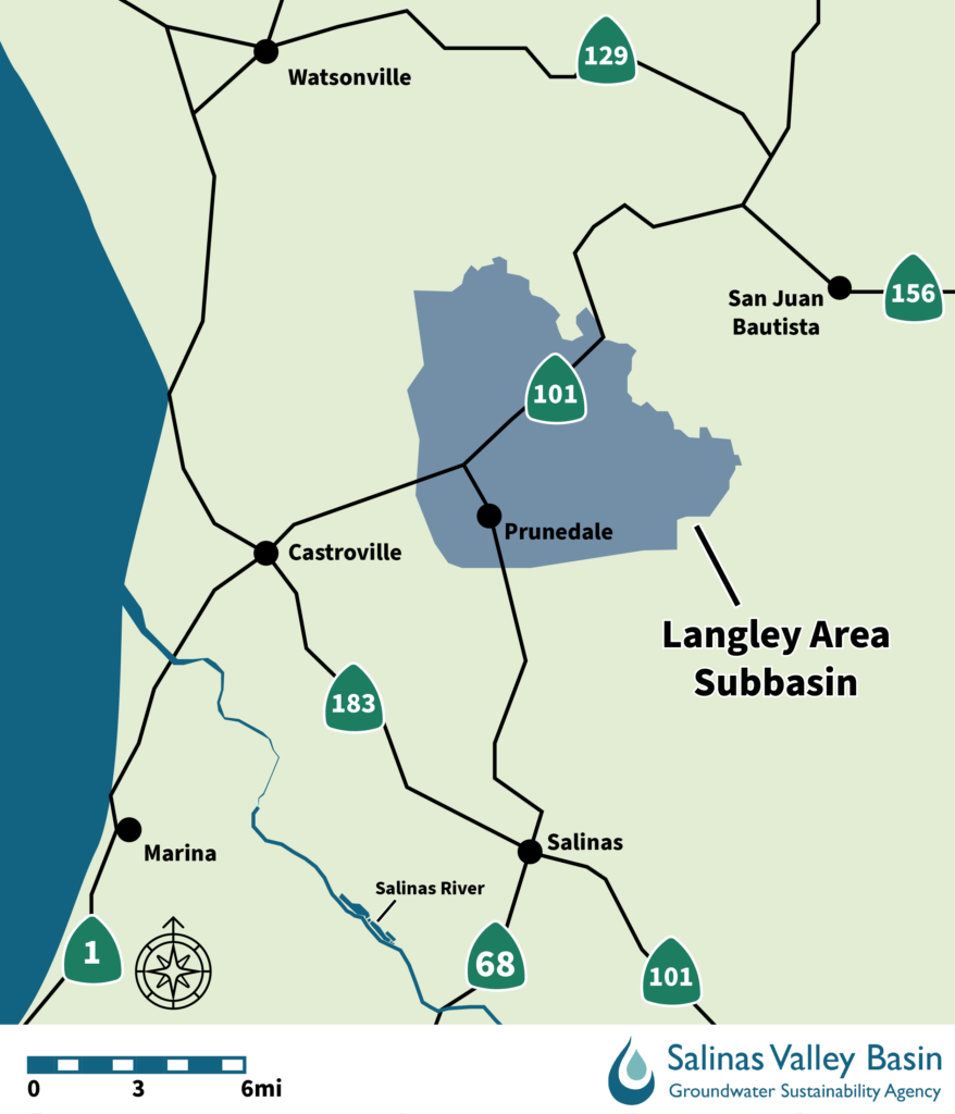
The Langley Area Subbasin includes the community of Prunedale and covers 27.5 square miles. The primary water use in this subbasin is rural residential, with some agricultural use along the southern boundary of the subbasin.
The Langley Area Subbasin Committee meets quarterly on the first Wednesday of the month at 9 a.m. (March, June, September, December). Get meeting information.
Resources
- 2022 Groundwater Sustainability Plan
- Appendices
- The Groundwater Sustainability Plan (GSP) was adopted on Jan. 13, 2022, by Resolution 2022-05
- The GSP was submitted to the Department of Water Resources (DWR) on Jan. 24 22. View the status on the SGMA website.
- Langley Area Subbasin Water Year 2024 Annual Report (PDF)
- Langley Area Subbasin Water Year 2023 Annual Report (PDF)
- Langley Area Subbasin Water Year 2022 Annual Report (PDF)
- Langley Area Subbasin Water Year 2022 Annual Report Dashboard (PDF)
- Langley Subbasin Water Year 2021 Annual Report (PDF)
- Langley Subbasin GSP Overview (PDF)
- Langley SMC Introduction (PDF)
- Langley Data Supplement to SMC Committee Meetings (PDF)
- Sustainable Management Criteria (PDF)
- Langley SMC Discussion (PDF)
- Langley Introduction to Survey on Projects (PDF)
- Langley Cho Water Budget Presentation (PDF)
- Langley Subbasin SMC update Projects Allocations Presentation 2021-03-03 (PDF)
- Langley SMC Update and Data 2020-11-04 (PDF)
- Langley Projects Update 2021-05-05 (PDF)
- Langley Implementation Chapter Update 2021-05-05 (PDF)
- Langley Extraction Data Update 2021-05-05 (PDF)
- Langley Hydrographs (PDF)